Skip to content
Webcams
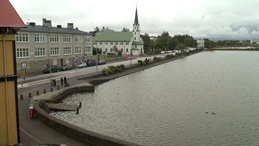
Reykjavíkurtjörn
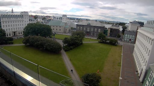
Austurvöllur
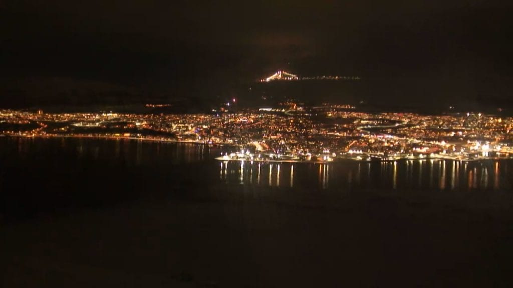
Akureyri
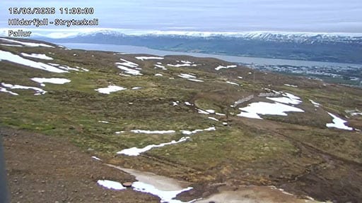
Akureyri Hlidarfjall
Eyjafjallajökull
Hagafell
Háfell – Katla
Hekla
Hella – Golf
Langihryggur
Perlan Over Reykjavík – South
Perlan Over Reykjavík – East
Perlan over Reykjavík – West
Perlan Over Reykjavík – North
Ravens nest in Selfoss
Reykjanestá
Reykjanesviti
Selvogur
Skjaldbreiður
Sólheimajökull
Stykkishólmur
Sundhnúkar
Svartsengi
Vestmannaeyjar – Dalurinn
Vestmannaeyjar – Framhaldsskóli
Vestmannaeyjar – Heimaklettur
Vestmannaeyjar – Gólfskálinn
Vestmannaeyjar – Skipalyftan
Vestmannaeyjar – Ægisgata
Vogastapi
Þingvallavatn
Þorbjörn
Scroll to Top